Taiwan Kaohsiung International Airport (KHH)
Orientation and Maps
(Kaohsiung, Taiwan)
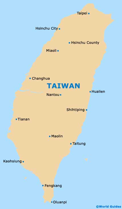
The world-famous island of Taiwan is also known as Formosa and lies on the southern side of Japan and to the south-east of China. Taiwan is home to an interesting mixture of flat plains and mountainous areas, with the highest point being the Jade Mountain. Northern Taiwan tends to feature a rain season from January to March, and this climate has directly affected the local flora and fauna in this area.
Kaohsiung is the island's second-biggest city and has a population exceeding one and a half million inhabitants. Kaohsiung International Airport (KHH) is located on the southern side of the city and became a true international airport in 1972. In 1997, a large international terminal opened as part of the airport's expansion plans.
Taiwan Kaohsiung International Airport (KHH) Maps: Important City Districts
Kaohsiung is located on the far south-western side of Taiwan and lies next to the coast and the Luzon Strait. Districts within the city of Kaohsiung include Lam-a-khe to the north, where the main highlights include the spacious Metropolitan Park. Also to the north, the Cho-ia district is a particularly historic area and contains a prominent navy base and various temples around the Lotus Lake, including the Dragon and Tiger Pagodas.
Around the centre of Kaohsiung, the Sam-bin district is full of high-rise apartments and an attractive Baptist church, with over 40 other churches nearby. Sam-bin is the city's most densely populated district and is home to the stunning San Feng Kung Temple and also the lively San Fen Chung Market. Nearby, other central districts include Chian-kim, Iam-tia, Ko-san, Leng-nga and Sin-heng.
Many interesting harbour activities take place around Kaohsiung's Chian-tin district, with other attractions including the inland Labor Park and a colourful flower market. On the south-western side of the city, Ki-tin is a small and long island, sited next to the coastline. To the far south, the Sio-kang district is best known for being home to Kaohsiung Airport and also features industrial areas and a busy shipping harbour.
Taiwan Map
Kaohsiung Map

